
H. De Wertheren. Map of Utah and Colorado Prepared by order of Lt Gen. W.T. Sherman, St. Louis: R.P Studley & Co., 1869
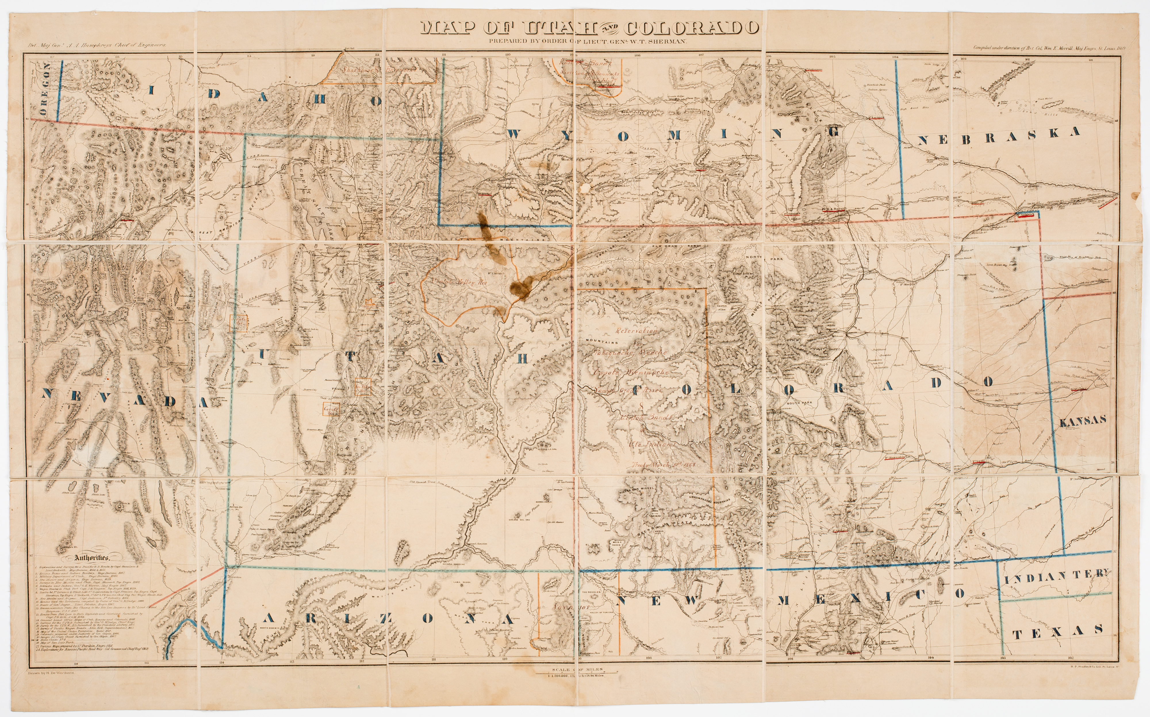 This map of Utah and Colorado and the bordering states and territories was made during the tenure of William Tecumseh Sherman as the head of the Military Division of the Missouri, which covered territory between the Mississippi River and the western edge of the Rocky Mountains. In this capacity, Sherman oversaw traffic on the overland trail systems, protected the railroads during construction, and oversaw the negotiation of treaties with Native people in the area. This copy of the map is annotated in manuscript with the regions of the country which had been set aside as reservations for many groups, including the Navajo, the Ute and the Shoshone peoples. The map was issued in the middle of the Indian Wars, just after the Winter Campaign of 1868-1869. Printed in St. Louis, the map is one of the earliest cartographic sheets printed by R.P. Studley & Co.. Starting in the late 1850s, the firm printed official reports, pamphlets, job work for the railroads and city businesses, and other ephemera, and are often credited with bringing the first lithographic press to the city. Gift of George Dalphin.